


Lifted Fairing
Lifted Fairing is a drone company that I started in the spring of 2026 while starting to wrap up my Unmanned Aerial System Operations degree at the University of North Dakota. Prior to this I have worked with drones and procedures at the Northern Plains UAS Test Site, at UND's Advanced Transportation Infrastructure Center (ATIC), as well as in UND's Digital Realism in Engineering and Applied Metaverse Lab (DREAM Lab) for a few years handling 3D scanning and modeling.
This is a self funded, practical application of the skills I learned in research which will hopefully others to use the tools to save more money with technology.
Owner and Employee: David Jezowski
Qualifications
- FAA Commercial Remote Pilot Certificate - 2 years
- NIST UAS Proficiency Test Certificate
- UND Commercial UAS Operations Flight Training and Courses
- NASA Applied Remote Sensing Training Program (ARSET) Certificated
- UND Remote Sensing Courses
- Valid FAA medical certificate
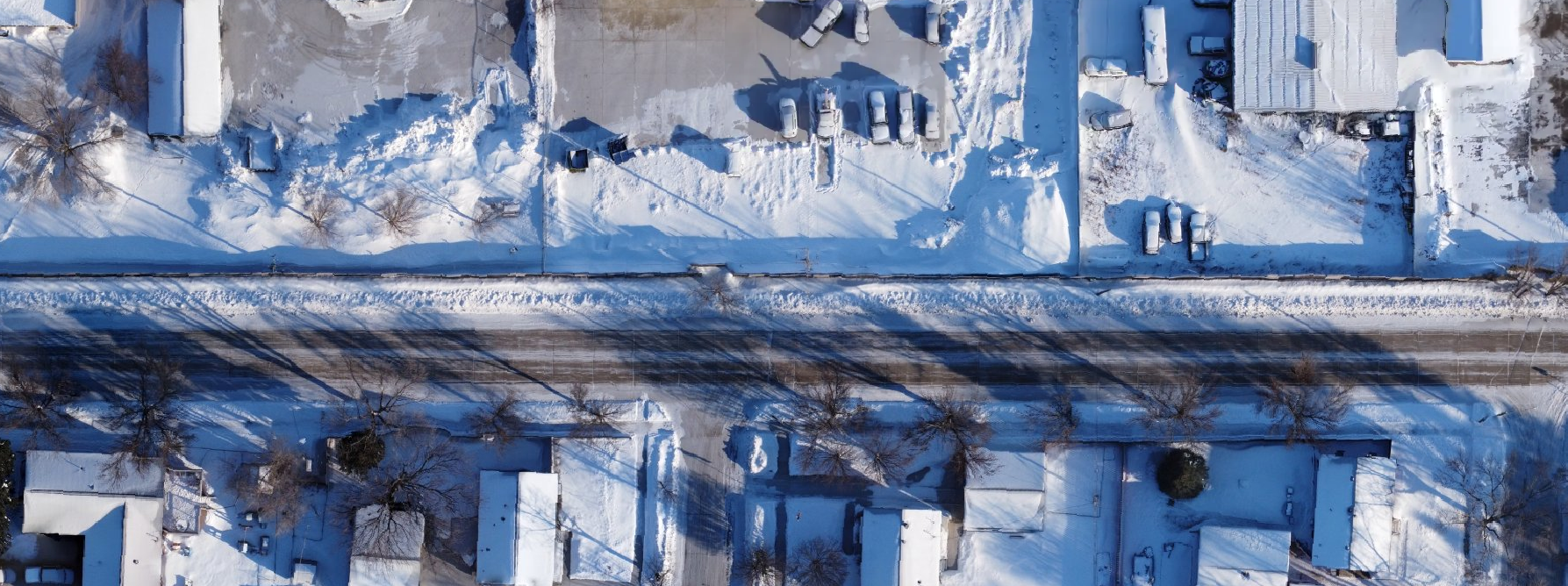
What normal operations look like
There is a lot of work that is needed to ensure compliance with federal, state, and local drone regulations. We handle that along with the specific science of collecting good data for reconstruction.
Meeting and Planning
Connecting with the client to find out what they need. Then based on that, planning out flights for safety and efficiency.
Flight Operations
Onsite flying to collect the data required. Flight plans comply with applicable laws and the mission is logged for future reference.
Processing and Analysis
The model or map is created with the data on a custom high performance workstation. Quality reports are also made showing the accuracy.
Delivery
Maps and models are given to the customer, then also uploaded to their secure storage file for future comparison, if requested.